A map exploring an hour of train departures from London.
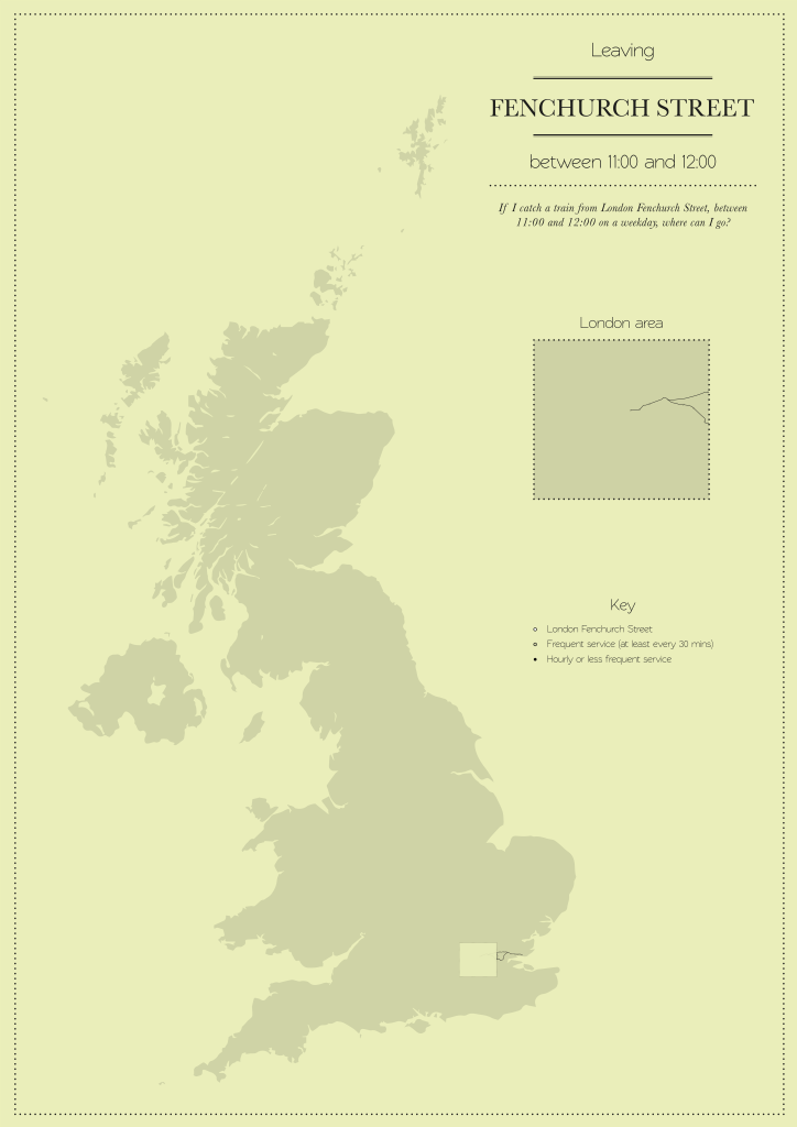
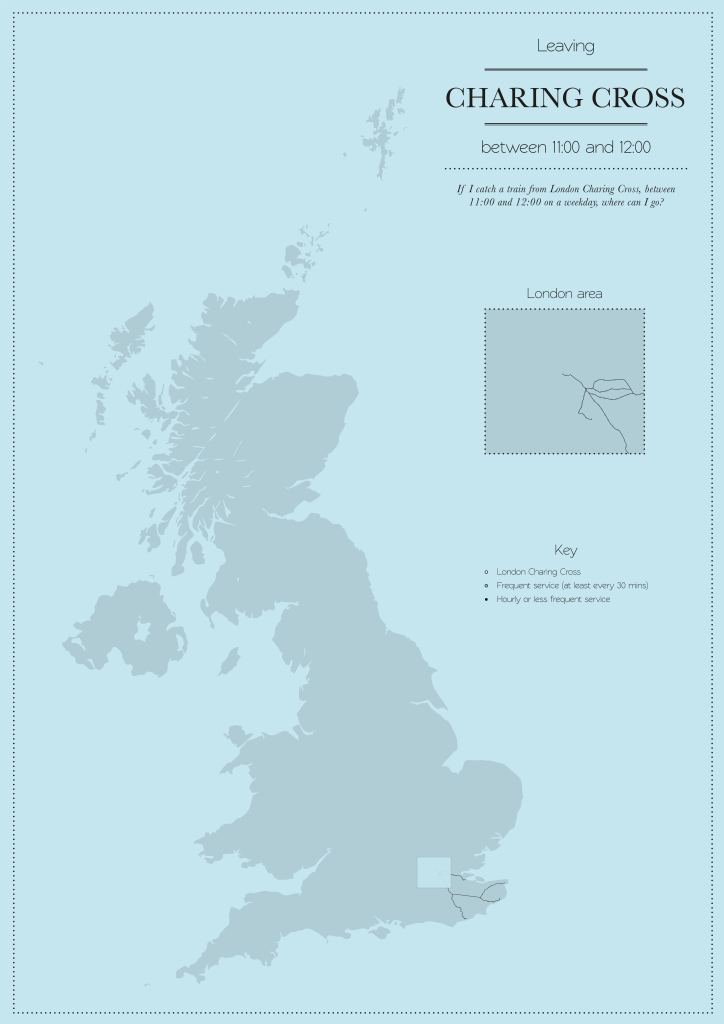
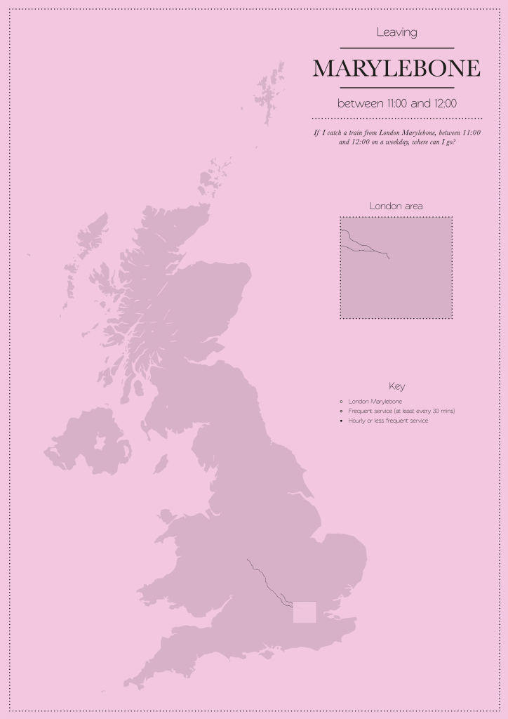
Every station that has at least one service from London, is on the map. The map was created by looking at every timetabled train departure from London between the hours of 11am and 12pm, on a normal weekday. Each service was cross referenced to work out the frequency of services for each station.
Railways were mapped with the help of OpenStreetMap http://www.openstreetmap.org/
Services were collected, and sorted with the help of Realtime Trains http://www.realtimetrains.co.uk
Note: The frequency of services is determined by the number of departures from all London termini, as some stations have trains calling that have originated from more than one station, such as both Waterloo and Victoria.
The maps were produced using the December 2014 timetable.
(click to enlarge)

Individual termini:


One thought on “Mapping London’s Reach”
Comments are closed.